Walking tour of Elmore Township
Please note: Concrete footpaths DO NOT extend throughout this walking tour. This walking tour is approximately 6.5kms and may take up to 2 hours to complete.
Begin your tour in Railway Square
Campaspe Run HV McKay Rural Discovery Centre
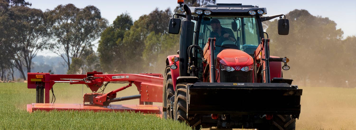
Elmore’s tribute to the Sunshine Harvester, our early pioneers and the sheep and grain industries.
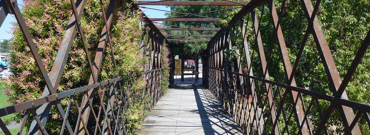
Overhead Railway Bridge
The Overhead Bridge was opened on June 16 1928 (costing £454 to build) and removed November 24 1980. It was sold to the Elmore Progress Association and today links Campaspe Run and the Elmore Progress Association Museum, whilst providing disabled access to the platform.
Elmore Railway Station
Opened in 1870 and originally named Runnymede Railway Station, the station was renamed Elmore Railway Station in 1876. The station master’s last day in Elmore was March 15 1987. Coaches took over daily passenger transport in the 1980’s, however a weekend passenger service was re-established in 1998, which has now been increased to a daily service. The now-decommissioned branch line to Cohuna opened in 1914 resulting in Elmore Railway Station having three platforms. The Queen travelled by train through Elmore on her 1954 tour.
The Elmore Railway Station Water Tower
Built in 1870 to supply water to steam trains, the 18 foot by 15 foot tower was made from locally made bricks, with 27 inch thick walls. Water was pumped from the Campaspe River. This building was donated to the Elmore Progress Association in 1972.
The Elmore Progress Association
The Elmore progress Association or EPA was formed May 26 1890 with the aim ‘To foster, protect and conserve the political, municipal, and social privileges of the township and district.’ Today, the Progress Association exists to foster, promote and encourage community wellbeing for the benefit of Elmore and District, to represent the plans and ideas of the community and to research and to nurture these plans and ideas to bring them to fruition, to print a weekly community newsletter, to establish and develop a museum and to encourage employment opportunities within Elmore and District.
The EPA News
This free weekly community newsletter printed by EPA volunteers in the Elmore Railway Station Water Tower was first printed on July 6 1972.
The EPA Museum
Situated in the Railway Station Buildings, this volunteer run Museum is free and well worth a visit.
Carefully cross the highway and travel one block down Cardwell Street (east towards the Campaspe River) to Michie Street.
Cardwell Street
Named after Rt. Hon. Edward Cardwell, Secretary of State for the Colonies, 1864, Cardwell Street was gazetted as the main street, but traffic flow altered when the new bridge was built and Margaret Street constructed in the early 1960’s. A group have recently (2015) installed a series of plaques relating the history of many buildings in Cardwell Street.
Victoria Hotel-Motel
Built in the late 60’s to replace the gracious double-story Victoria Hotel.
Former Bank of NSW/Westpac
This double story building on the South side of the street is now privately owned and operates as Elmore Old Wares.
Should you travel further down Cardwell Street, you will find
Former Parson’s Store
This store was established in 1893 and traded as a general store until 1982. Today, Parson’s Store is used as a display area, storage and workroom for the Elmore Miniature Railway.
Richie’s Art Gallery
Established in 2007.
Turn left into Michie Street
Michie Street – Named after Hon. Sir Archibald Michie, MLC, MLA, Attorney-General
Athenaeum Hall
Built in 1885 for £800, and opened in 1886, the Athenaeum Hall was designed by W.C. Vahland and built by Mr G. Galbraith. Throughout its life, it served as a Hall for public entertainment, Church services by The Church of England and Presbyterian Church, Library, Library Club Rooms, Billiard Room with four tables from 1924-1965 and it was used as the Scout Hall room from 1970 to 1980. As the building became unused and vacant in 1982, it was vandalised and under threat of demolition, so a small committee of nine members was formed and called “The Save The Athenaeum Hall Committee,” to restore the hall to its original glory. It re-opened in 2002.
Elmore Scout Hall
This former Methodist Church built in 1874 was purchased as the Scout Hall in 1983.
Turn right into Clark Street
Clarke Street
Named after John Clarke, Owner of Boramboot or Stewart’s Plains station from 1850-1852.
Uniting Church
Originally St Andrew’s Presbyterian Church opened on June 18 1899, the Uniting Church was formed by an amalgamation of Methodist and Presbyterian Churches in 1969. One of Elmore’s original clay pits (for making local bricks) was situated in the block behind the Uniting Church. This has been filled in.
Turn right into Hervey Street
Elmore and District Preschool
The Preschool was built as an Infant Welfare Centre (circa 1960s) and extended as a Preschool in 1972.
Elmore Memorial Hall
The Elmore Hall Complex commenced on this site in 1866 with the erection of the first government school, The Elmore Common School which is now the kitchen of the complex. It was closed in 1875 when The Mechanics Institute of Victoria took over. In 1920 it was proposed to build a Memorial to the local service me of World War 1 and to provide work for some of the returned service men.
The design of the hall is unique as it is built of reinforced concrete mixed on site by hand and mixer to combat cracking which occurs in brick buildings in this area. Inside, a movie film projector box was built in the front in a second storey. This was forward thinking as movies were, at this time, in their infancy. The hall was used as a picture theatre until the advent of television.
The projector box is still intact and operable if movies come back into vogue. The hall complex is used for all community functions, dances, balls, school and theatre groups. When the restoration of the Athenaeum Hall was taking place, it was decided to join all these buildings together by a glass vestibule from the Athenaeum Hall to the kitchen.
The complex is considered the biggest hall complex in regional Australia and the fact that it has three generations of halls, all on their original sites and still operating is worthy of note.
Elmore CFA Fire Station
The Fire Station was opened on September 26 1972, replacing the one in railway place (1910-1972). The former site is now known as Progress Park near the Raywood Road Rail Crossing.
Police Station
The current Police Station was built recently to replace the former station which was opened in 1968. Before this time, the Police Station was situated diagonally across the intersection. The old Police Station is now a private residence.
Law Courts
The building next to the Police Station was built as the Law Courts but is now privately owned and used as a Solicitors and Accountants office.
Turn left into Cardwell Street towards the Campaspe River
Coffee Palace/James’ Bakery
The white building on the South corner of the Cardwell and Jeffrey Streets intersection was originally a Coffee Palace and later served as James’s Bakery which was well known as the place for lovely bread fresh from the oven. It is now a private residence.
The Old Water Tower – This spectacular tower was used to store the town’s water supply which was pumped from the Campaspe River. The pumping station was placed on rails to move up the bank in times of flood. The weir has been removed in recent times, although remnants remain. This pumping station also produced the electricity for the town’s local power system until Elmore was connected to the state grid in 1948.
Turn left into Jeffrey Street and continue on to Wright Street (three blocks)
Jeffrey Street
The Jeffrey brothers owned Burnewang Station from 1852 to 1867.
Campaspe River
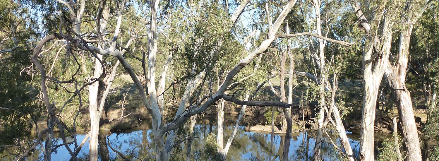
The Campaspe River rises in the Kyneton area and enters The River Murray at Echuca. Lake Eppalock (constructed by State Rivers and Water Supply Commission of Victoria 1961-64) is situated on the Campaspe River.
Campaspe River Natural Play Space – The walking track from Cardwell Street back to the bridge was originally constructed by the former Shire of Huntly to celebrate their 125th Anniversary. Included in this development was a playground which was removed. The Elmore Progress Association in conjunction with the City of Greater Bendigo are currently creating a natural play space on the former playground site.
Campaspe River Walking Track
The Campaspe River Walking Track meanders alongside the captivating Campaspe River. Dotted along the track are information boards which highlight the unique attributes of this stretch of the river. The walking track stretches from the Campaspe Bridge (corner of Margaret and Jeffrey Streets) to the corner of Campaspe and Childers streets. The walking track has been a joint project between the Elmore Progress Association and the City of Greater Bendigo. Working bees have seen locals contribute to revegetation, weed removal and general maintenance.
Campaspe River Pepper Tree Avenue
The Avenue of pepper trees between the Campaspe River Bridge and Childers Street along Campaspe Street was planted on August 10 1898. The trees were donated by the Elmore Water Trust. Dotted amongst the pepper trees are rustic seats; perfect for enjoying a bite to eat or an opportunity for quiet reflection.
Senior Citizens Flats (now Public Housing)
The Catholic Church donated the triangle land at the junction of Campaspe and Jeffrey Streets to the former Shire of Huntly to build flats for Senior Citizens. About 20 years later these flats were handed over to the State authorities and are today Public Housing.
Our Lady of the Sacred Heart Catholic Church
The Church was built on 1904. The Presbytery is next door.
Our Lady of the Sacred Heart Convent
Situated on the corner of jeffrey and Childers Streets.
Our Lady of the Sacred Heart Primary School
Commonly known as OLSH.
Elmore Bush Nursing Hospital
The Bush Nursing Hospital was established in 1937, becoming the Elmore District Hospital until 1992 when smaller hospitals were amalgamated. The hospital buildings are now Elmore Primary Health Services. The land immediately across the intersection was the site of the Elmore Showgrounds.
Turn left into Wright Street, travel two blocks and then turn left into Michie Street. Travel a further two blocks and turn right into Clarke Street.
Elmore Senior Citizens
The Elmore Senior Citizens Clubrooms were built in 1973.
Brummy’s Seat
On the south side of the intersection of Clarke Street and Railway Place grew an Elm tree (which has since been removed) which had a circular seat placed around it. This was known as Brummy’s Seat after Mr Bremner, a blacksmith and the Fire Brigade Captain who loved to smoke his pipe and have a yarn. Mrs Bremner didn’t approve of smoking so he hid his pipe and tobacco in the hollow of the Elm tree and spent his smokos ‘putting the world to rights’ with the other men in town. The Elmore Progress Association has placed a plaque nearby.
Proceed carefully straight across the highway and railway crossing into Raywood Road.
Water tower
This water tower supplies the town and is a UV water purification plant.
Elmore Swimming Pool
Opened on December 2 1959.
Elmore Recreation Reserve
The facilities managed by the Elmore Recreation Reserve Committee of Management include the lawn tennis courts (1964), Caravan Park, trotting track, golf course (1924), bowling greens (1924), skate park (2003), netball courts (1962) and football oval and rooms (the club started before 1900).
Elmore Cemetery
The Elmore Cemetery was gazetted in 1872. The earliest internment is unknown but the earliest headstone reads, ‘Henry S. Alt, Age 2, 1867.’ Murder victim, John Duggan, known as Corky Jack, was buried here in 1888. A plaque to his memory has been placed inside the gates.
Return along Raywood Road and turn right into Simmie Street (West side of the train line)
See the silos and grain sheds.
Turn left into Minto Road, travel across the train line and turn left onto the Midland Highway
Elmore Miniature Railway
Built on the site of the Cohuna Goods yard, the Elmore Miniature Railway (EMR) line extends for 1.5kms, with the EMR station situated at Apex Park.
Turn right into Margaret Street, travel one block and then turn left into Michie Street
Elmore Primary School
Elmore Primary School 1515 opened March 23 1875
Masonic Lodge
The former Masonic Lodge was built in 1922. It is now privately owned.
St Peter’s Anglican Church
The church was built in 1877, and the Parish Centre built in 1984.
Continue over Cardwell Street, travel one block then turn left into Clarke Street. After one block, turn into Railway Place (Northern Highway)
Shopping Strip
This is the main shopping strip with an op shop, providore, hairdresser, three pubs (the Railway Hotel is the oldest in Elmore), chemist, IGA, gallery, bank, post office (opened 1911) and fish and chip shop. In the next block there is a café, Landmark Ag supplies, butcher, newsagent and service station. Cardwell Street was the original Main Street, but with the construction of the new bridge and Margaret Street, traffic flow changed.
(This walking tour was originally researched and developed by Thelma Shearer and Norma Holmberg from information at the Elmore Progress Association Museum)


